





















































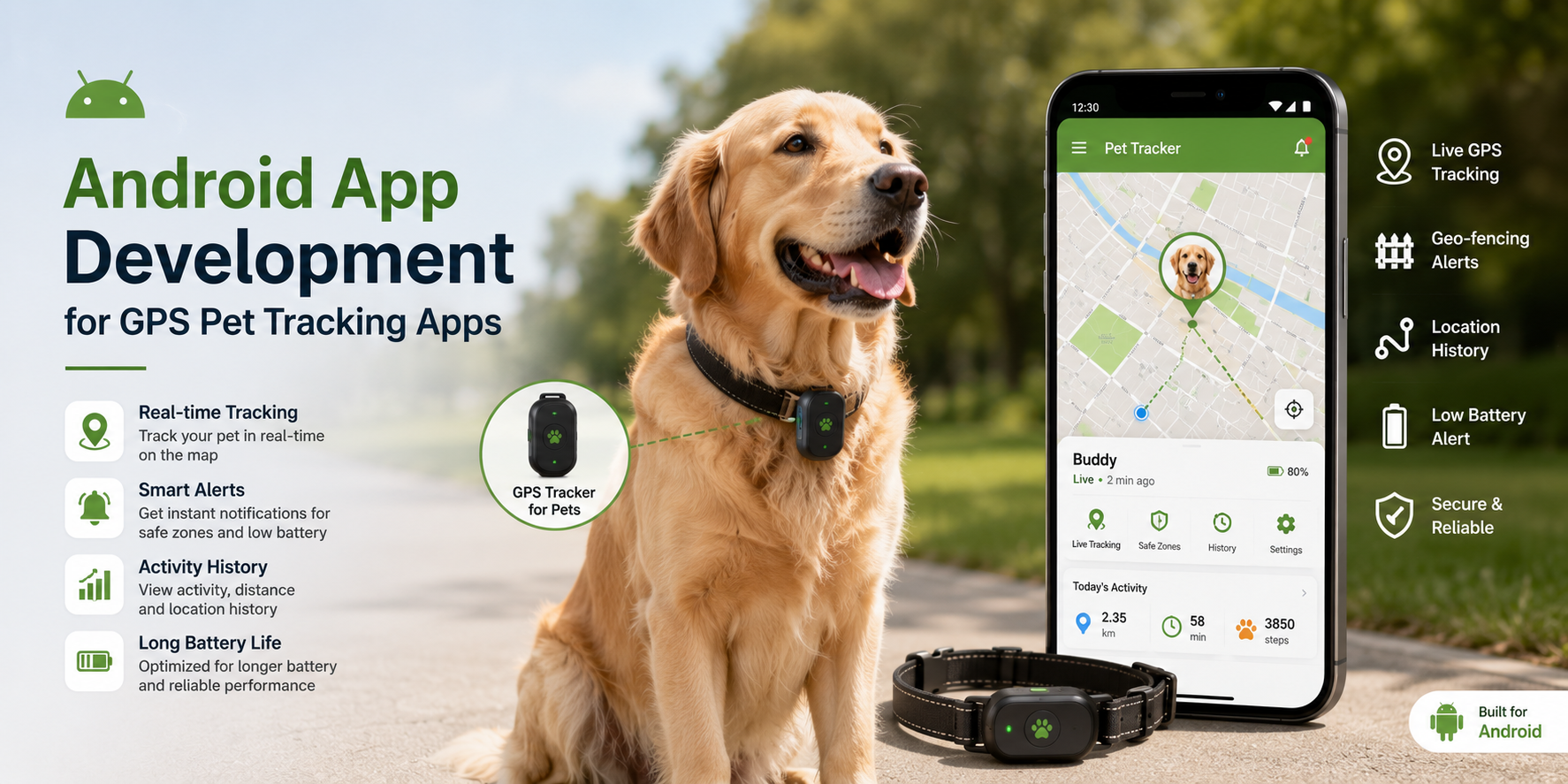
Maya’s dog got out of her garden on a Wednesday afternoon. She spent four hours driving around her neighborhood before her neighbor spotted the dog two streets over. The whole time she was driving she kept thinking: I have a tracker on his collar. I have a perfectly good GPS tracker on his collar. And the app it came with showed her a dot on a map that hadn’t moved in six hours because the tracker had lost its cellular connection and stopped updating, and the app had no way to tell her that the signal was gone rather than just very still.
She messaged us about building something better about a week later.
That conversation ended up being one of the more technically interesting projects we’d done, not because GPS tracking is a new idea but because doing it well on Android involves a specific set of problems that aren’t obvious until you’re inside them. An android app development company that has shipped location-based mobile products before approaches the category differently from a team treating it as “maps plus a pin” – and the difference between those two approaches shows up exactly when someone needs the app to work, which is when their pet is missing.
Here’s what building a genuinely reliable GPS pet tracking app on Android actually requires.
Location Accuracy Is the Starting Point, Not a Given
Android provides several location APIs, and the differences between them matter more in a pet tracking context than in most other location use cases. The Fused Location Provider API from Google Play Services combines GPS, Wi-Fi positioning, cell tower triangulation, and sensor data to produce the most accurate location fix the hardware can deliver at any given moment. Using raw GPS alone is slower to acquire a fix and drains battery faster without necessarily improving accuracy indoors or in dense urban environments.
For a pet tracker specifically, the accuracy requirement is unusual: the tracked object is moving independently, potentially in areas where GPS signal is inconsistent, at speeds that vary from stationary to running. The location update interval needs to be configurable, more frequent when the pet is detected as moving, less frequent when stationary, because a fixed high-frequency update rate drains the collar device’s battery quickly enough to make the product impractical.
Geofencing through the Geofencing API allows the app to define a safe zone around a home and trigger an alert when the pet’s tracker crosses the boundary. This is a more reliable notification mechanism than continuous location polling because the alert fires based on a boundary crossing event rather than requiring the app to compare locations at each update interval. Implementation details matter here: geofence radius needs to account for location uncertainty (a fifty-meter geofence on a tracker with thirty-meter accuracy produces too many false alerts), and the transition types (ENTER, EXIT, DWELL) need to be configured based on how the product handles pets that briefly cross a boundary and return.
Background Location and Android’s Permission Model
This is where most first-time Android location app developers run into serious problems. Android has become progressively more restrictive about background location access over successive OS versions, and for good reason: background location permission is one of the most privacy-sensitive capabilities an app can request.
For a pet tracking app, background location is non-negotiable. The whole point is to know where the pet is when the user isn’t actively looking at the app. But requesting ACCESS_BACKGROUND_LOCATION requires explicit user consent through a flow that Google requires to explain why background access is needed, and apps that request it without a legitimate use case face rejection from the Play Store.
The right approach is requesting location permission in stages. Foreground location permission first, which covers use while the app is open. Then, after the user has engaged with the product enough to understand why background access is needed, a separate request for background permission with a clear explanation of what it enables. Play Store policy requires this staged approach, and the explanation given to the user affects both conversion rate on the permission request and the probability of Play Store review approval.
Foreground services with a persistent notification are required to keep a location update running when the app is in the background. This is intentional platform design: the notification tells the user that the app is actively tracking location, which protects users from apps that track silently. For a pet tracking app, this persistent notification is a feature rather than an annoyance – it reassures the user that active monitoring is happening.
The Hardware Side of the Equation
A pet tracking app has two distinct software components: the app on the owner’s phone and the software running on the tracker attached to the collar. These communicate through one of several connectivity options, each with different trade-offs.
Cellular-connected trackers use a SIM card to send location data over mobile networks, giving them range limited only by cellular coverage. They’re the most capable option for pets that might travel significant distances, but they require an ongoing data subscription and their battery life is typically shorter than Bluetooth or LoRa alternatives because cellular radio is power-intensive.
Bluetooth trackers are limited to roughly ten to fifteen meters of range but have excellent battery life and work without a data subscription. They’re most useful as a presence detector within a home or small property rather than as a genuine tracking solution for a lost pet.
LoRa (Long Range) radio operates in the sub-GHz spectrum and can achieve distances of several kilometers with extremely low power consumption, making it well-suited for rural pet tracking scenarios. LoRaWAN network coverage determines where it works, which varies significantly by region.
The Android app needs to handle whichever connectivity method the hardware uses, process the incoming location data, and do something useful with it. For cellular trackers, this typically means a backend service that receives location updates from the tracker via HTTP or MQTT and pushes them to the app. For Bluetooth, it means BLE (Bluetooth Low Energy) scanning and connection management within the app directly.
Mapping, Trails, and History
A dot on a map showing current location is the minimum viable feature. What makes a pet tracking app useful beyond that is the location history: where has the pet been in the last hour, what route did they take, how often do they visit a particular area of the garden.
Storing and displaying this history efficiently is a database and UI challenge. Location data comes in at potentially high frequency and accumulates quickly. A naïve implementation that stores every raw location point and renders all of them on the map becomes slow and expensive fast. The right approach depends on the product requirements, but typically involves storing raw data, simplifying it for display purposes (using a line simplification algorithm like Ramer-Douglas-Peucker to reduce the number of points rendered without visually losing the route shape), and providing configurable time windows for history review.
Google Maps SDK and Mapbox are both reasonable choices for the mapping layer, with different licensing models and customization capabilities. For a consumer product, Google Maps has the advantage of familiarity. For a product where map appearance and offline map support matter, Mapbox offers more flexibility.
Alerts, Notifications, and the Battery-Anxious User
A pet tracking app lives and dies by the reliability of its notifications. An alert that fires three minutes after the pet crossed a geofence boundary, or that fails to fire because the app was in an aggressive battery optimization state on a Samsung or Xiaomi device, is an alert that didn’t work.
Firebase Cloud Messaging is the reliable path for delivering push notifications through Google’s infrastructure rather than depending on the app maintaining its own persistent connection. FCM handles the delivery infrastructure; the app handles what happens when a notification arrives.
Device-specific battery optimization is the persistent challenge. Android manufacturers, particularly Samsung, Xiaomi, and Huawei, implement aggressive battery saving behaviors that kill background processes and interrupt scheduled tasks in ways that Google’s own guidelines don’t sanction but that real devices do in practice. The dontkillmyapp.com database documents manufacturer-specific behaviors, and a pet tracking app needs to prompt users to disable battery optimization specifically for the app during onboarding, with clear guidance on how to do this for common device models.
What Maya’s App Does Now
The redesigned product shows a real-time location that updates every thirty seconds when the dog is moving and every five minutes when stationary, switches to a visible “signal lost” state rather than showing a stale location when the tracker loses connectivity, triggers a geofence alert within about forty-five seconds of a boundary crossing, and shows a twenty-four-hour location history with the full route rendered.
The signal lost state was the change that mattered most to Maya. The original problem, a dot on a map that had stopped updating without telling her why, was the thing that sent her to us in the first place. Building an app that’s honest about what it doesn’t know turned out to be as important as building one that accurately reports what it does.
That’s not a GPS problem. It’s a design problem. The GPS worked fine. The app just never told her it had stopped listening.